Fieldwork Tales: Studying tropical land-sea connections
A team from the Oxford Seascape Ecology Lab and Ecosystems Lab complete an exciting fieldwork trip to a remote coral atoll in French Polynesia.

Returning from a day in the field: L-R Antonin Fioretti, Solène Fabre, Dr Lisa Wedding, Professor Yadvinder Malhi, Pirta Palola, Rosalie Wright, Dr Eleanor Thomson, Kaya Malhi and Luciano Kokokilagi.
In July 2022, the Oxford team set out to collect ecological data for a long-term project supported by the Bertarelli Foundation and led by Prof Nick Graham, Lancaster University. This fieldwork trip to Teti’aroa, in collaboration with Tetiaroa Society and the University of French Polynesia, was part of a novel, multidisciplinary science program that is investigating the role of seabird nutrient subsidies in driving biogeochemical, ecological and geo-ecological processes across islands and reefs.
The fieldwork involved diverse approaches to evaluate feedbacks between seabird-derived nutrient subsidies across island systems, with the aim of understanding how the reconnection of these nutrient pathways may influence ecosystem resilience. Seabirds are globally important transporters of nutrients, feeding at sea and returning to deliver nutrients onto islands. These subsidies can boost terrestrial plant biomass and invertebrate abundance. Foundational work by members of this Bertarelli-funded project has shown how seabird nutrient subsidies enhance coral reef productivity and functioning (Graham et al., 2018; Benkwitt et al., 2019).
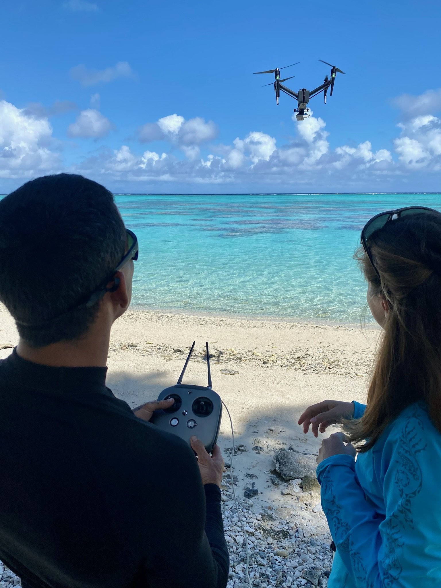
In the field, Oxford Professor Yadvinder Malhi and Postdoctoral Scholar Dr Eleanor Thomson led the work on terrestrial island ecology and biogeochemical cycling, including state-of-the-art drone-based techniques. Eleanor is advancing the application of multispectral drone and satellite imagery to map and measure the spatial and temporal patterns of nutrient export across the island landscape, using data collected in the 2022 fieldwork trip. Oxford Seascape Ecology Lab PhD student Pirta Palola is working to extend the landscape mapping into the marine realm using a combination of deep learning and remote sensing methods. The resulting maps of the coastal nutrient-scape will be calibrated and evaluated using field data the team collected.
During this trip, water samples were collected across the atoll to estimate chlorophyll-a content (a proxy measure for nutrient load in the water). Hyperspectral measurements provided information on coral reflectance data, while reef benthic and fish communities were surveyed in underwater video transects.. Collectively, these surveys will provide valuable insights into coral reef communities under differing conditions across the atoll. Through these multidisciplinary approaches, the team ultimately seeks to inform land-sea restoration strategies that support the resilience of coastal ecosystems to climate change.
The Oxford Seascape Ecology Lab shared preliminary results from this field trip at the Reef Conservation UK (RCUK) Conference, where lab members Pirta Palola, Emily Peterson and Rosalie Wright presented their studies on hyperspectral coral measurements, identifying fish connectivity hotspots and baseline surveys of benthic communities respectively. To find out more about these research studies, check out our RCUK webstory.
To stay up to date with this project, follow us on Twitter: @OxfordSeaEcoLab.
We would like to thank the Bertarelli Foundation and Tetiaroa Society for supporting this work.

